Arkansas Sphinx

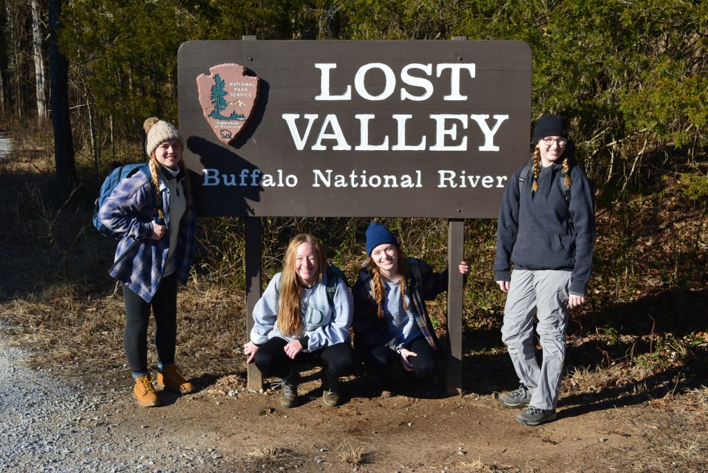
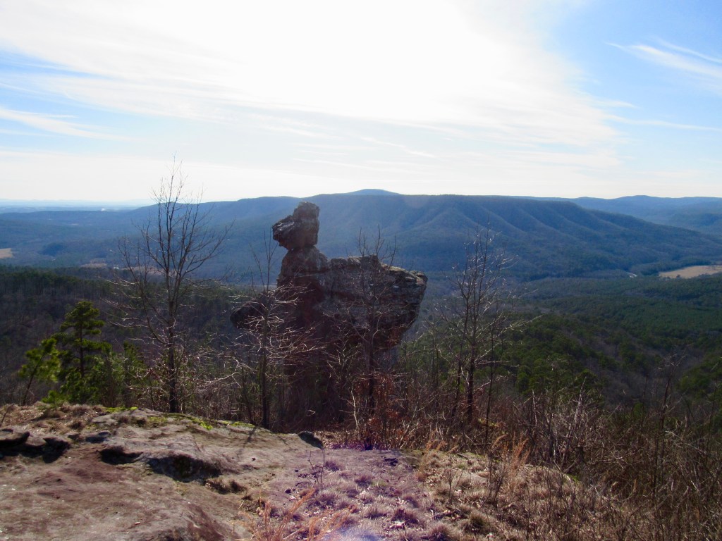
I went hiking on this trail with three other friends. None of us had ever hiked here nor did we directly know of any people who had hiked the trail. My friend found this trail by following a Arkansas hiking group on Instagram. After making two wrong turns on the road and falling forty minutes behind our schedule we saw the Sphinx. It was visible from the road and towered on top of the steep mountain-side. AllTrails said that the trail was 0.5 miles in and back. It should have taken a max of thirty minutes, and then we were going to find a waterfall somewhere else but that is not what happened.

We parked on the side of the road directly below the Sphinx and could not see any trail. Because the Instagram account does a lot of off trail hikes, we assumed that there wasn’t a path. There was a natural break in the mountain side with a stream cutting through it. We began our hike going up the stream, but I quickly decided that going directly up the slope would be quicker and easier than following the stream.

The hardest part of this hike was the fact that the entire mountain was covered in thick bushes of thorns. I was wearing long pants, tall hiking socks, and a long sleeve so I did not get too many scratches. My friends got a lot of scratches on their arms and ankles. I used sticks to push as many thorns out of my way as possible. The climb was very steep so the extra foliage made it a more difficult hike than any of us were expecting. Around three-fourths of the way up the mountain, I found the trail! It wasn’t very wide, but it was so much easier to hike the rest of the way without fitting the thorns.

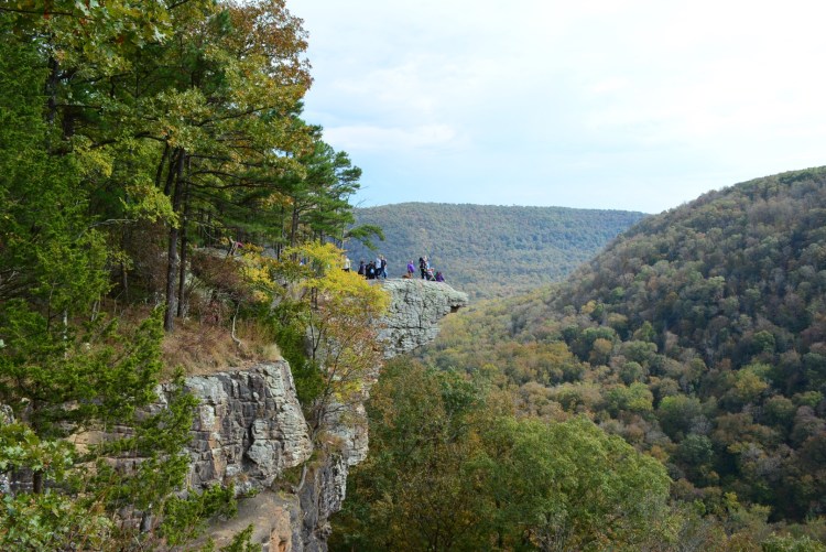
The 360 view from the top was beautiful! I could see all the way to the Russellville cooling tower off in the distance. There is also a range of mountains in the distance. Above the Sphinx were flat rocks which were so peaceful to just sit on and enjoy the view. We brought sandwiches and ate lunch up there.

We took some pictures, but couldn’t enjoy it too long because the hike ended up taking us three hours! One person needed to be back in Conway by a certain time so we had to quickly go back down. We used the trail this time, and it took us less than ten minutes. If we originally took the trail, it probably would have taken us less than thirty minutes.

I would recommend wearing tall socks and long pants for this trail. You should also use the path! I probably wouldn’t go when the snakes are out because the thick bushes on the mountain seemed like a good place for them to live. Overall the hike was hard but the view was great!

Lost Valley Trail

Lost Valley Trail is my new favorite hiking spot in Arkansas. Its located between Ponca and Boxley on the Buffalo National River. It is a very popular location and camping site. It also has a bathroom! The parking lot is very large, and the beginning portion of the trail is flat and handicap friendly.

The 2.1 mile trail is an out and back that follows Clark Creek. The creek is usually running but while I was there parts of it appeared dry. A sign on the trail said that the water is always running, it just goes underground. The trail forks about a mile in and I recommend staying right and following the creek. A small waterfall comes out of a natural bridge. My friends and I climbed through the small cave-like area. The water cut through the rocks in a really cool pattern and I used my iPhone light to see where we were going. On the other side of the natural bridge were some cool boulders that I climbed up to get back on the trail.

The next sight on the trail is Cob Cave. It is located about 1.0 miles down the trail. This cave is cut into a 200 foot bluff. According to Arkansas Hiking Trails by Tim Ernst, the cave was named many years ago after corncobs that were found there believed to be left behind by Indians. The veiw is hard to explain because the cave is so massive. The inner part of Cob Cave is visably dry and perfect shelter from weather. We did not spend much time here because Eden Falls is right up the trail. You can hear the water from the cave.

Eden Falls was honestly a completely breath taking view. I wasn’t expecting the waterfall to be as tall or fast-flowing as it was. The water was a beautiful blue. It looked like a scene from a magazine. We spent a while taking a lot of pictures here. It would be a nice and peaceful place to sit and rest in nature, but I am sure that on a normal day that spot would be packed. The last part of the trail becomes stairs. It lead ends at the entrance to Eden Falls Cave. You have to bring flash lights to go into the cave. I recommend head lamps so that both of your hands are free. The cave isn’t very deep, but the last part requires crawling. Inside the end of the cave is an internal waterfall. It is worth the effort to go through the cave to see it! Be careful climbing through the cave, one of my friends hit her head on the top and got a nice bump.

This is taken from inside the the Eden Falls Cave. The crawl space gets smaller than this.

Whitaker Point & Hawksbill Crag

As one of the most iconic places in Arkansas, I wanted to write my first blog about Whitaker Point Trail. I hiked this trail in October when this picture was taken and the leaves were just beginning to turn. Then I hiked it again over winter break in December. It has gorgeous lookouts, a double waterfall, and the crag.

It is up a very steep, dirt road to the trailhead. I would be cautious about driving a low car up the mountain, although it appears to be graded for pot holes fairly often. I traveled in a truck and didn’t have any problems. I did noticed that there were a few cars parked by the trailhead, but most vehicles were SUVs or trucks. On the weekend in October the parking space was packed and it was hard to find a spot, but in December on a weekday it wasn’t as busy.

The trail itself is an out and back with a length of 2.9 miles. There is a creek about half way down that turns into a small waterfall. If you go off trail and explore the waterfall, there is a large cave in the side of the cliff behind it, and there is a second waterfall below it. Back on the trail there are cool rocks along the edge of the cliff between the crag and the waterfall.

Just before the crag there are two places for great overlook views and pictures. The crag itself is fairly flat except for the point which isn’t as level. I recommend extreme caution and not getting close to the edge. There is the risk of severe injury with falling.

Because this is one of the most recognizable places in Arkansas, it is heavily trafficked. The trail is well worn and easily followed. It is also dog friendly and many furry friends visit the trail on leashes. Depending on the experience you want, try to plan your trip on a day of the week with human traffic in mind.

This is a view from on top of the crag in December.

Design a site like this with WordPress.com
Get started