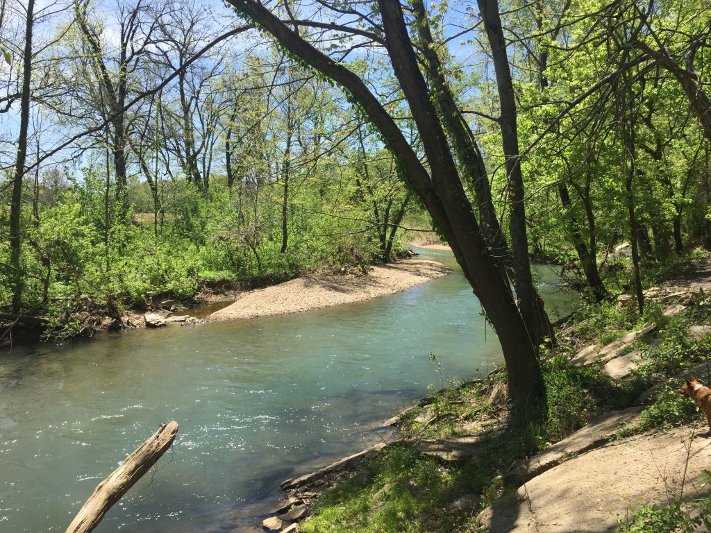
This last trail was super disappointing. Based off of someone’s recommendation my parents and I hiked this 5.1 mile loop last weekend. It is located in Bella Vista, Arkansas. We parked at the Kingswood golf course parking lot. The trail entrance was on the immediate right. We walked down the trail which took us along the creek neighboring the greenway. The creek was crystal clear and moving swiftly.
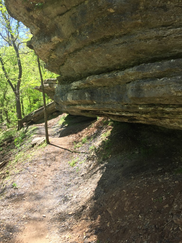
Along the trail were cool rock formations and springs. The rocks sometimes formed cave-like hollows or they looked like a steep drop off from the area above. The springs came out of the rocks and fed into the creek. A few times I saw moss growing up the rocks in column shapes.
Due to the warmer weather, I have been more cautious in looking for snakes. I haven’t seen any yet, but they are moving now. I don’t take as many risks climbing through an off-trail area when I can’t see where my hands or feet are touching.
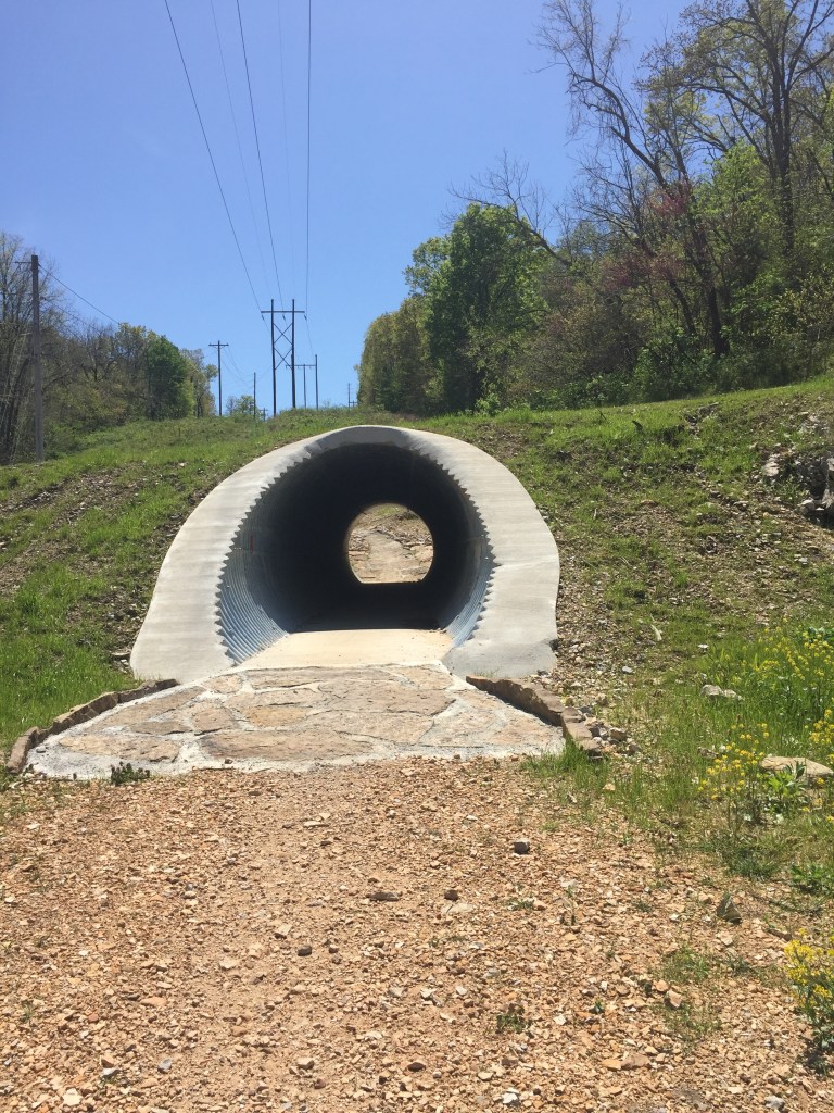
After just a short distance the trail leaves the creek and crosses a road. This is where you should turn around! The best part of the trail is over. The next two miles are completely up hill. We came across a couple of groups of bikers, but they were all going down hill. Once we were about half way done with the trail we saw the tunnel. I expected a natural tunnel, so I was disappointed with the culvert.
Based on a biker’s recommendation we went right at the tunnel on to Tweety Bird trail so that it would be a shortcut back to the car. This was a new trail and not on the hiking app that I use. I found that it actually was taking us farther away, so we bushwhacked off the trail and on to the street. By using our phone’s GPS we were able to follow the streets back to our car.
This was one of the harder hikes that I have done. The hills made the miles even more difficult. By the time we made it back to the car we had walked 5.6 miles. I wouldn’t recommend this trail unless you are more in shape and looking for a harder hike or if you are a biker.
